
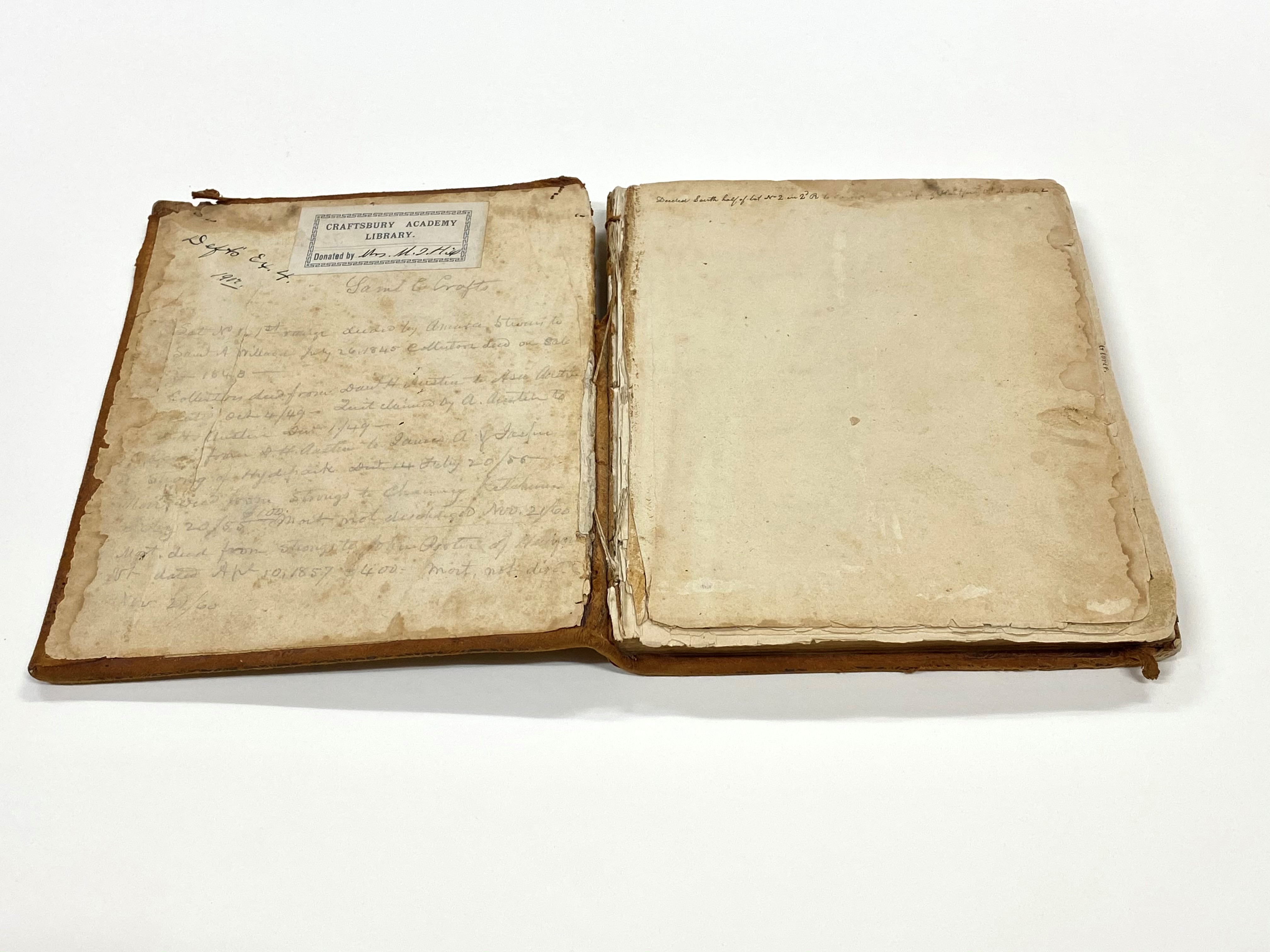
Crafts Book of Plans
Description
A similar book of plans by John W. Chandler is also owned by the Vermont Historical Society (*XMS 912.743 C361). Chandler purchased the papers James Whitelaw, second surveyor general of the state, after his death. Chandler’s maps may be based on Whitelaw’s and Crafts' maps may be copies of Chandler’s.
Crafts, the son of Ebenezer Crafts, settled in Craftsbury in 1791 and was town clerk of that town for thirty years, from 1799 until March 1829. He held many public offices including member of the U.S. House of Representatives, 1817-1825; Governor of the State of Vermont, 1828-1831, and U.S. Senator, 1842-1843.
The volume was donated to the Vermont Historical Society by the Craftsbury Academy in July 2019. More information about this volume is contained in the finding aid for this volume.
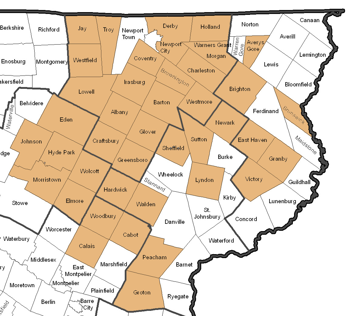
Towns included in the Crafts Book of Plans:
Collection Tree
- Crafts Book of Plans
Plan of early lot owners of Albany, Vermont [cartographic material]
![Plan of early lot owners of Albany, Vermont [cartographic material]](https://digitalvermont.org/files/square_thumbnails/45/2099/Albany.jpg "Plan of early lot owners of Albany, Vermont [cartographic material]")
Map and notes, including lots with owners' names, town boundaries, rivers, roads, and relief by hachure, of Albany, Vermont.
Plan of early lot owners of Avery's Gore, Vermont [cartographic material]
![Plan of early lot owners of Avery's Gore, Vermont [cartographic material]](https://digitalvermont.org/files/square_thumbnails/45/2147/AverysGore.jpg "Plan of early lot owners of Avery's Gore, Vermont [cartographic material]")
Map and notes, including lots with owners' names, town boundaries, rivers, roads, and relief by hachure, of Avery's Gore, Vermont.
Plan of early lot owners of Barton, Vermont [cartographic material]
![Plan of early lot owners of Barton, Vermont [cartographic material]](https://digitalvermont.org/files/square_thumbnails/45/2117/Barton.jpg "Plan of early lot owners of Barton, Vermont [cartographic material]")
Map and notes, including lots with owners' names, town boundaries, rivers, roads, and relief by hachure, of Barton, Vermont.